Community Corner
Noah, Stay in that Ark: Flood Watch, Rain Continue [Update]
As rain continues, the National Weather Service's "Flood Watch" is extended through the wee hours Thursday, and a "Coastal Flood Advisory" expects nightime tides about one foot above normal.


Update 8:14 a.m.:
The National Weather Service's "Flood Watch" continues through late Wednesday night, with an additional 1.5 to 2 inches of rain forecast for the New York metropolitan region, mostly falling tonight, although the service has downgraded its warning for late-night coastal flooding.
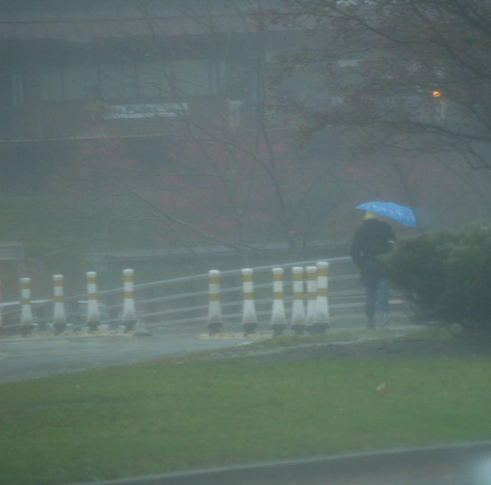
In a separate weather forecast specifically for Norwalk, total rainfall for today (Wednesday) is expected to be between 0.75 inchs and 1.25 inches. Periods of heavy rain may occur, and thunderstorms are possible at points during the day and night up to 3 a.m. Thursday.
Find out what's happening in Norwalkwith free, real-time updates from Patch.
Other than an updated forecast for rain and extending the time through late tonight, the Flood Watch update at 3:22 a.m. Wednesday is nearly identical to those issued over the past two days.
The "Coastal Flooding Warning" of Monday and Tuesday has been changed to a "Coastal Flooding Advisory" which is less urgent. The weather service defines this kind of "advisory" as a situation where "onshore winds and tides will combine to generate flooding of low areas along the shore."
Find out what's happening in Norwalkwith free, real-time updates from Patch.
The advisory, issued at 3:43 a.m. Wednesday (and displayed lower down on the same weather service Web page as the Flood Watch), states that from 11 p.m. to 3 a.m., around high tide, coastal water may rise one foot above normal, creating "widespread coastal flooding." For the previous two evenings, at about the same times, the warning was that tides could rise 1.5 feet above normal.
High tide will occur in Stamford at 12:56 a.m. Thursday; in Bridgeport, at 12:53 a.m.
In the Norwalk forecast, a wind from the east of about 14 mph is expected during the day and from 10 to 14 mph at night. A high temperature of 60 degrees is expected during the day, and a low of 54 overnight. The chance of precipitation is 100 percent today and 80 percent tonight.
Much less rain is expected Thursday, with only a 60 percent chance of it and only a tenth to a quarter of an inch forecast. But thunderstorms are possible in the afternoon, and they could bring heavier rain and more of it. After that, for every day and night through Saturday morning, there's a chance of showers—a 40 percent chance until Friday night, when it diminishes to 30 percent.
Saturday night is the first one in the seven-day forecast without rain.
Then Noah and his passengers can come out of the Ark.
Update 5:06 p.m.:
According to the latest "Coastal Flood Watch" report from the National Weather Service, issued at 3:02 p.m., "minor and moderate coastal flooding" is expected around high tide from 10 p.m. Tuesday to 2 a.m. Wednesday.
The latest "Flood Watch" report, issued at 3:18 p.m., remains in effect until Wednesday night, and flooding is possible in the area from southern Connecticut to Westchester County, parts of New York City and northern New Jersey.
Update 6:55 a.m.:
The National Weather Service has updated its flood warnings for today through late Wednesday night in the New York metropolitan area, and says the rain may bring floods today in low-lying areas near small streams and for the hours around midnight near the shore.
With three to four inches of rain expected, and possibly higher amounts in spots, flooding may occur in small streams and creeks as well as flood-prone urban areas, the weather service said in a "Flood Watch" report issued at 4:57 a.m. for southern Connecticut, southeast New York state (except for Nassau County on Long Island) and parts of northern New Jersey.
The flood watch remains in effect from today through late Wednesday night.
The weather service has also issued a "Coastal Flood Watch", and in its 4:41 a.m. update says "moderate tidal flooding is possible" along the coast of western Long Island Sound is expected from 10 p.m. Tuesday to 2 a.m. Wednesday, with tides rising about 1.5 feet above normal.
High tide in Bridgeport is at 12:02 a.m. Wednesday; in Stamford, 12:05 a.m.
The weather service suggests that residents on the coast should monitor weather reports for updates.
The weather service's 6:10 a.m. prediction for Norwalk calls for showers and a possible thunderstorm today, followed by fog after about 5 p.m. Half an inch to three quarters of an inch of rain is expected, along with a high temperature of 57 degrees. An east wind of 11 to 15 mph is expected.
Another inch or two of rain is expected tonight, with possible thunderstorms. The temperature should dip to a low of 52 degrees and winds will pick up slightly at 13 to 16 mph.
For Wednesday and Wednesday night, more showers and possible thunderstorms are in the forecast, with three quarters of an inch to an inch of rain expected Wednesday and another half inch to three quarters of an inch at night. The chance of precipitation is 90 percent during the day and 80 percent that night.
Original story, Monday:
Heavy rains may work with high tides to flood some low-lying coastal areas Monday and Tuesday nights, according to the National Weather Service, which expects possible flooding to be "minor" but "widespread."
The weather service issued a "Coastal Flooding Advisory" at 3:16 p.m. and an overlapping "Coastal Flood Watch" in the same report and covering the same area along the western and north central coast of Long Island Sound. At 3:25 p.m. the weather service issued a more generalized "Flood Watch" covering a larger area.
The Coastal Flooding Advisory is in effect from 9 p.m. to 1 a.m. Monday night and Tuesday morning and again the next night at the same times. The weather service says that minor flooding may occur in conjunction with high tide, which occurs in Bridgeport at 11:11 p.m. and in Stamford at 11:14 p.m.
Tides may rise another 1 to 1.5 feet during the Monday-Tuesday period and 1.5 to 2 feet in the Tuesday-Wednesday period.
According to the weather service: "A Coastal Flood Watch means that conditions favorable for flooding are expected to develop. Coastal residents should be alert for later statements or warnings and take action to protect property."
The area covered by the current Coastal Flood Warning and Coastal Flood Watch extends from northern Queens and southern Bronx and Westchester counties in New York state though southern Fairfield and New Haven counties.
The Flood Watch issued at 3:25 p.m. is in effect from Tuesday morning to late Tuesday night and is for an area extending far from the coast, including all of Fairfield County, the New York state counties of Orange, Rockland, Putnam and Westchester, the New York City borroughs of Brooklyn, the Bronx and Queens, and parts of northern New Jersey.
"A nearly stationary storm system over the mid-Atlantic states will push a constant stream of moisture into the region through the middle of the week," the weather service predicted Monday afternoon. About 3 to 4 inches of rain will fall in the region, "with locally higher amounts. through Wednesday night." Small streams could flood, and people living in flood-prone urban areas should be prepared for flooding, the forecasters say.
According to the weather service: "A Flood Watch means there is a potential forflooding based on current forecasts. You should monitor later forecasts and be alert for possible flood warnings. Those living in areas prone to flooding should be prepared to take action should flooding develop."
Get more local news delivered straight to your inbox. Sign up for free Patch newsletters and alerts.